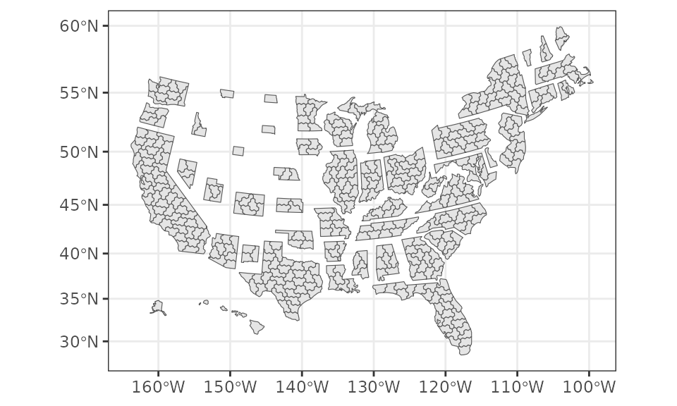
Loads Daily Kos / Downballot Elections cartogram shapefile of coordinates for each district.
Format
Each object is for a particular year. The year indicates the start of that Congress. Each observation is a congressional district, represented by a cartogram.
Source
2013–2027 coordinates are from The Downballot's maps database.
2005-2011 (shp_hex_2005 through shp_hex_2011) are created through CoryMcCartan/hexmap.
Licensing and attribution
The Downballot-derived cartogram material is the Congressional District Hexmap by Daniel Donner for The Downballot, licensed under Creative Commons Attribution 4.0 International (CC BY 4.0). Older source files may be branded Daily Kos Elections.
The package standardizes district identifiers, repairs narrow geometry gaps, translates the 2023 cartogram to align with later maps, and reuses version 2.1 for 2013-2021. The generated 2005-2011 maps also use The Downballot's state layout for placement and scaling. The README figures and logo adapt this map material through plotting, recoloring, cropping, or composition.
Retain the creator credit, source and license links, and an indication of
changes when publishing or redistributing the licensed map material.
Full attribution and scope are in the installed LICENSE.note, located by
system.file("LICENSE.note", package = "fourthirtyfive"). The package's R
code remains under the MIT License.