fourthirtyfive 0.1.1
- Recomputed normal vote from Donwballot sources
- Repair gaps between hexmap districts before bundling the data, so state outlines draw without spurious inner borders.
- Use full-resolution district boundaries by default in
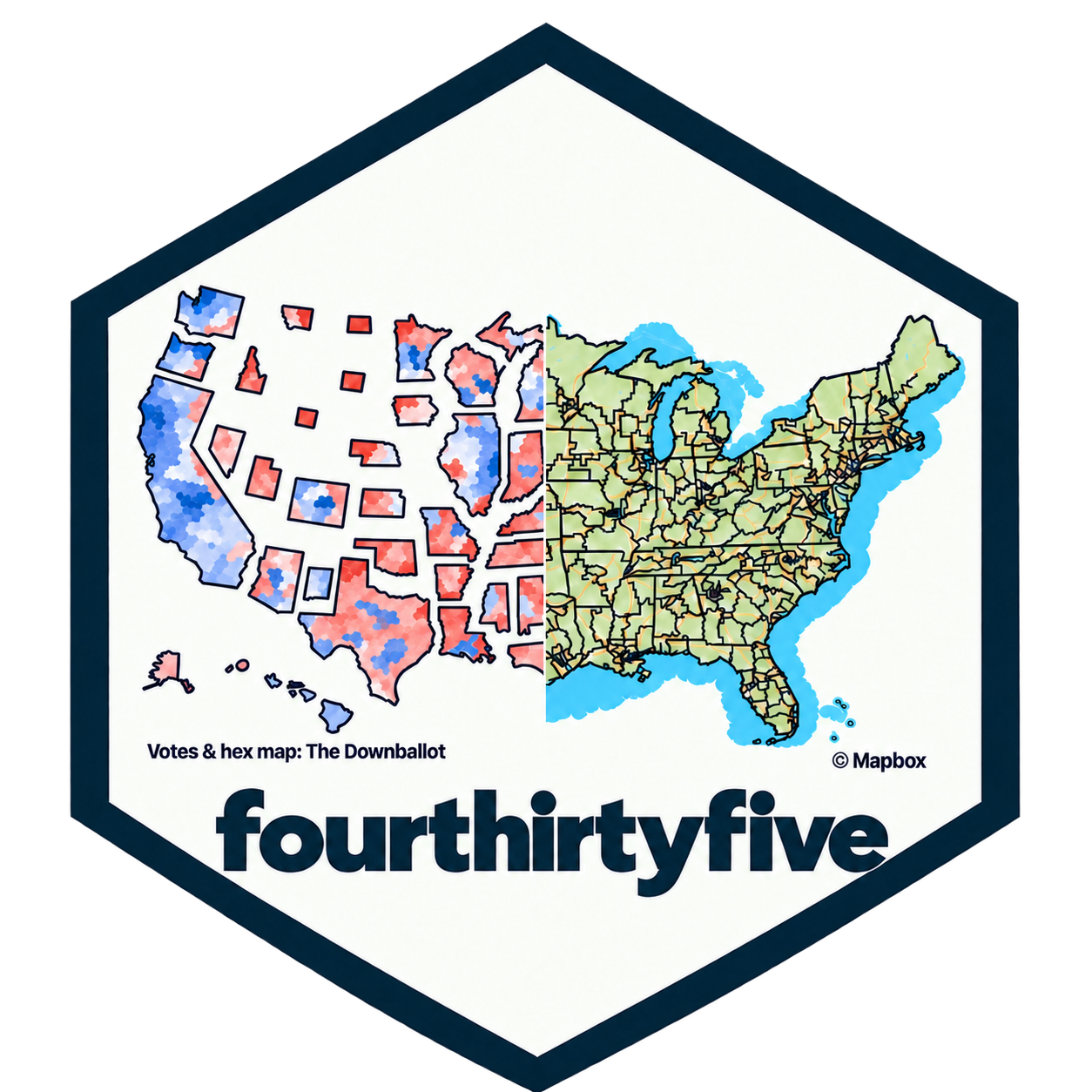
cd_mapbox()for closer inspection of cities. Setdetailed = FALSEfor lighter maps. - Add a package hex sticker combining a normal-vote cartogram and geographic district boundaries.
- Document the CC BY 4.0 license for The Downballot’s hexmap material, with Daniel Donner’s attribution, source and license links, and modification notices in the README, help pages, and installed package.
fourthirtyfive 0.1.0
First public version, released 2026-10-25
- Access congressional district boundaries, dot maps, hex maps, and descriptive names with
cd_boundaries(),cd_dotmap(),cd_hexmap(), andcd_names(). Olderload_*()functions remain aliases with the same arguments and results. - Update data to the districts for the 120th (2027) Congress.
- Correct FL and NC district names for the 113th and 114th Congresses, and NC names for the 117th Congress, using descriptions for the matching maps.
- Retrieve district or statewide Cook PVI with
cd_pvi()for Congress start years 1999–2027.pvi_to_numeric()is a helper funciton. - Compare up to three Congresses in one interactive
cd_mapbox()map, with optional outlines for one or two cities, layer controls, city zoom, and PNG export. Requires the optionalmapglpackage and a Mapbox public token; seemapbox-setupfor configuration and usage limits. - Use
cd_available()to display supported products and periods withcliand return an availability table invisibly. - Website created
- Thanks to Christopher T. Kenny for help with the overall package design and to Jens Wiederspohn for help with the 2027 data.